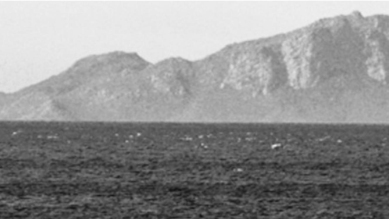
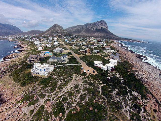
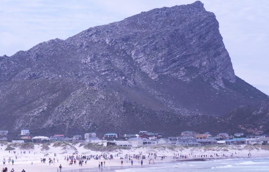
The coastal village of Pringle Bay, situated at approximately 34°22′ South and 18°49′ East, is defined by the dominant presence of Hangklip Mountain. Located roughly 30 nautical miles across the water from Cape Point, this landmark has functioned as a central reference point for human activity spanning hundreds of millennia. While the modern settlement was formally laid out in the 1930s by the Hangklip Beach Estates consortium, the landscape holds deep-seated roots reaching back to the Middle and Later Stone Age. Archaeological traces indicate the region was a vital node in early human settlement and migration routes long before the first colonial surveys.
Pringle Bay (Wiki Commons)
For these early inhabitants, the Hangklip region offered a practical combination of survival essentials: fresh water, stone tool resources, and a wealth of marine and terrestrial food sources. The mountain provided a natural vantage point and shelter from the elements and predators. This pattern of subsistence continued for thousands of years, transitioning with the arrival of domesticated livestock approximately 2,000 years ago. As Dutch colonial expansion began to limit grazing lands in the 1700s, indigenous Khoisan communities utilised the freshwater valleys and coastal resources of Hangklip to maintain their nomadic pastoralist and hunter-gatherer lifestyles. Landmarks such as Dawidskraal, named after a local Khoisan leader, and the presence of stonewalled fish traps and coastal middens, remain as physical evidence of this era of indigenous autonomy.
The maritime history of the peak is defined by its height and its potential for navigational error. To Portuguese navigators of the 15th and 16th centuries, the mountain was known as Ponta Espinhosa (Thorny Point). It also earned the name Cabo Falso, or False Cape, as its silhouette was frequently mistaken for Cape Point. This strategic but deceptive elevation eventually drew the attention of the Dutch East India Company. In 1655, Jan van Riebeeck despatched a scouting party to the region to investigate cattle trading opportunities. By 1673, the Dutch administration acquired the Hangklip Basin to serve as a formal farm, following a bartering process typical of the period.
Throughout the 18th century, the ruggedness of the terrain allowed Hangklip to become a sanctuary for those living on the fringes of the colony. Between 1724 and 1747, the mountain was a known "Outlaw Haven." Groups of runaway slaves, escaping the conditions of the Company’s slave lodge in Cape Town, found refuge within the inaccessible cliffs. The terrain offered secrecy and a significant vantage point from which to monitor approaching authorities. While colonial farmers attempted to establish "Free Burgher" outposts like the farm Welgemoed in 1739, the isolation, the relentless "black south-easter" winds, and the proximity to these independent outlaw communities meant that early colonial agricultural efforts were rarely permanent.
The transition toward the modern village of Pringle Bay began in the late 18th century. Named after Rear-Admiral Sir Thomas Pringle, the area was initially envisioned as a port for shipping produce from False Bay to the naval base at Simon’s Town. Though the port never materialised, the British era saw renewed interest in the land’s biological and maritime wealth. By 1899, the Walsh brothers were exploring the commercial potential of the coastal estates, noting the abundance of flora and marine life that could support fishing and whaling enterprises alongside livestock.
The 20th century redefined Hangklip once more, shifting its identity from a frontier refuge to a planned residential retreat. In the late 1930s, Harold Porter, Arthur Youldon, and Jack Clarence purchased the land with a vision for a self-contained township that prioritised the preservation of the natural environment.
A shifting identity
This development was briefly interrupted by World War II, during which Hangklip assumed a vital military role. The Union Defence Force established a secret radar station on the mountain’s peak to monitor aircraft and shipping convoys in False Bay. The barracks built for this effort were later converted into the Hangklip Hotel in 1952, a structure that still stands at the foot of the mountain.
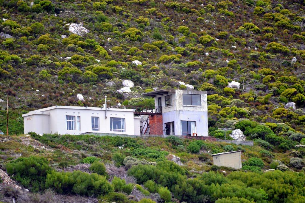
Hangklip Radar Station
The first holiday homes, including the landmark "Stoney Ridge," appeared around 1948, marking the beginning of Pringle Bay’s identity as a leisure destination. Today, the village is an integral part of the Kogelberg Biosphere Reserve. As a UNESCO-recognised site supporting over 1,600 species of fynbos, the area is now valued for its global ecological significance.
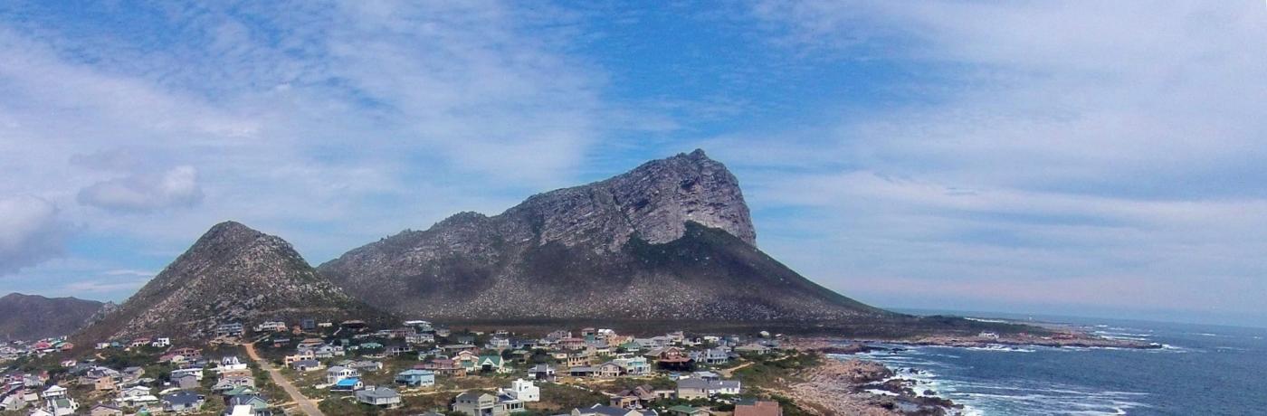
Hangklip and Pringle Bay (Wiki Commons)
The history of Pringle Bay is a record of continuous interaction between the topography of the Cape and the various groups of people who have sought profit, survival, or residence beneath the mountain. According to psychology, human action is guided by the need for autonomy, competence, and relatedness. These needs interplay with different types of motives (Subsistence, necessity and opportunity-driven). This article aims to contribute to the identity of Hangklip and its environs as a landmark driven by a deep engagement with place through a hierarchy of psychological needs and motivational drivers. The psychological pull of place – its landscapes, stories, and social meanings – activated the desire to publish. The choice of location is thus not only geographic but symbolic, representing deeper psychological engagements with belonging, identity, and memory.
References
- Myburgh, W. & Deacon, J. June 2023. Prehistoric Hangklip Home to Homo heidelbergensis and Homo sapiens. The Pringle Post.
- Myburgh, W. Dec 2023. HangkIip: An Outlaw Haven (1700 - 1852). The Pringle Post.
- Myburgh, W. & Burns, M. Dec 2021. Hangklip: A World War II Heritage Treasure Trove. The Pringle Post.
Dr Wim Myburgh began his career as an officer in the South African Navy before transitioning into academia and private practice. He earned a PhD in Psychology from Nelson Mandela Metropolitan University and practised as a consulting Industrial Psychologist in Cape Town for many years. Throughout his career, he has maintained a dedicated interest in military history and psychology, serving as a guest lecturer at the South African Military Academy and co-authoring research on the psychological determinants of military student success. He is a member of the Naval Heritage Trust.