On a recent trip to Vancouver, Canada I went off to visit Vancouver Island. The island is surprising large being 456 km long, 100 km at its widest point and has a total area of 32,100 km2. It is the largest by area and the most populous of the islands along the west coasts of the Americas. The capital of British Columbia, Victoria, is on the island and has some beautiful Victorian buildings.
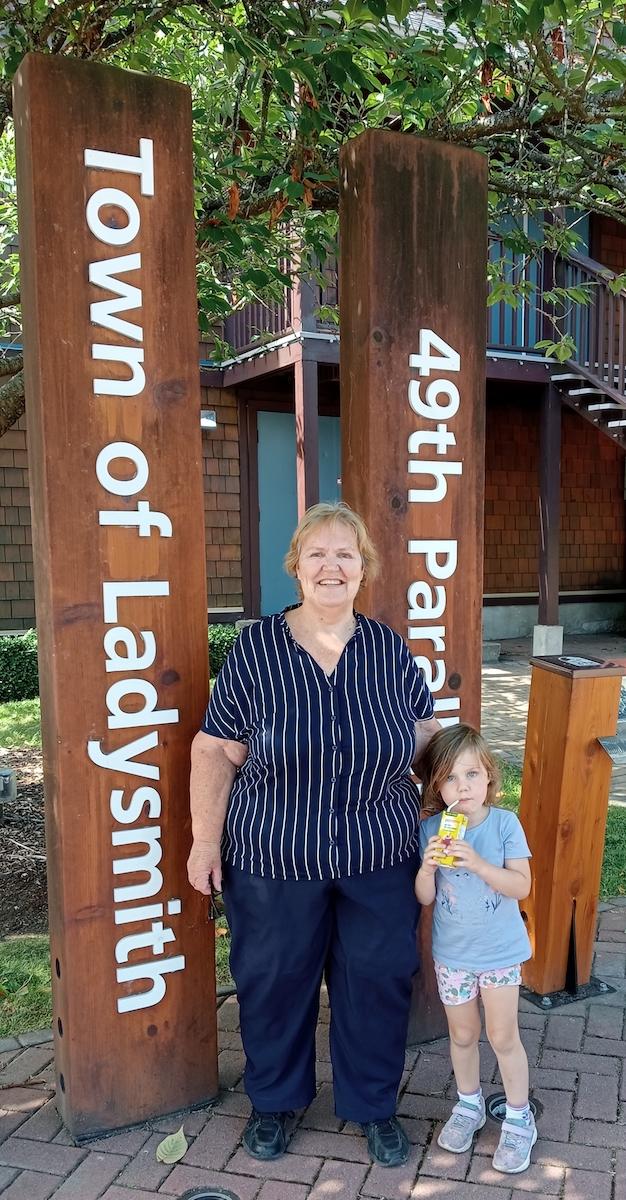
The southern part of Vancouver Island and some of the nearby Gulf Islands are the only parts of British Columbia or Western Canada that lie south of the 49th parallel. The 49th parallel is the boundary between the United States and Canada.
Indigenous peoples have inhabited Vancouver Island for thousands of years, long before the arrival of Spanish and British naval expeditions in the late 18th century.
The Spanish and British conjointly named it Quadra's and Vancouver's Island in commemoration of the negotiations in 1792 between the Spanish commander of Fort San Miguel in Nootka Sound, Juan Francisco de la Bodega y Quadra, and British naval Captain George Vancouver. It is one of several North American locations named after George Vancouver, who between 1791 and 1794 explored the Pacific Northwest.
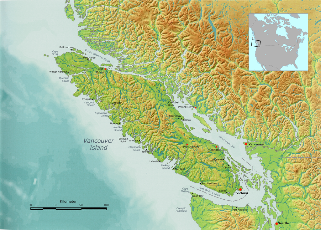
Map of Vancouver Island (Wikipedia)
It is separated from the mainland of British Columbia by the Johnstone Strait and Queen Charlotte Strait on the north and northeast, and by the Strait of Georgia on the southeast, which together with the Strait of Juan de Fuca along its southwest, separates it from the United States. West of the island is the Pacific Ocean – and having flown from Brisbane to Vancouver I know just how huge the Pacific Ocean is 15 hours of flying over non stop water. The Vancouver Island Ranges run most of the length of the island, dividing it into a wet and rugged west coast and a drier, more rolling east coast.
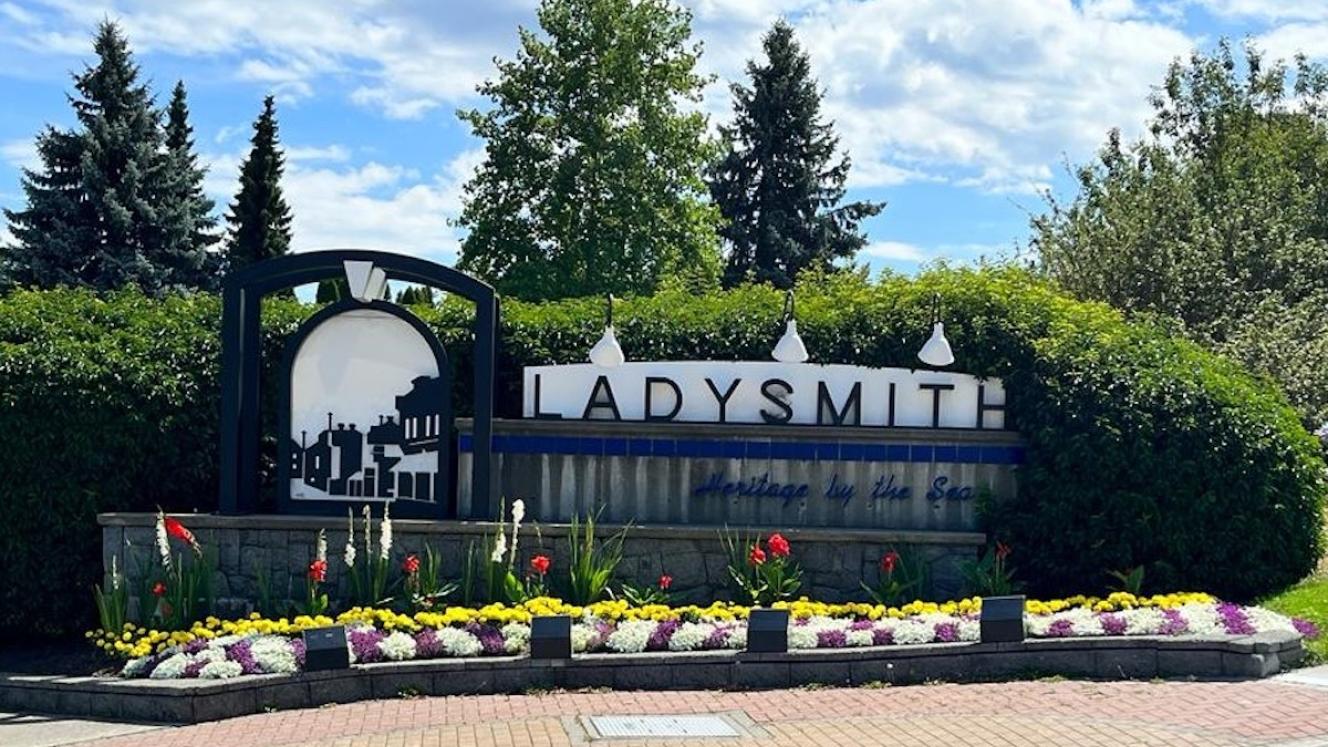
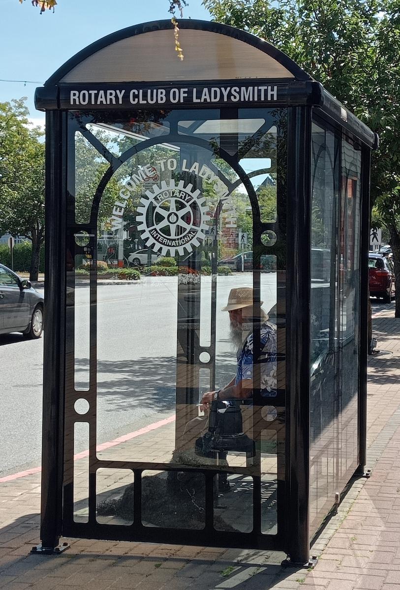
Ladysmith is situated on the 49th parallel. It is built on the hillside overlooking Ladysmith Harbour.
Visting Ladysmith (Pam McFadden)
One of the oldest settlements on Vancouver Island, the town, originally known as Oyster Harbour was established in 1899 by James Dunsmuir, son of Vancouver Island’s prosperous coal-mining family. The town was designed as a recreation and dormitory complex for miners and served as a shipping port for coal from Nanaimo.
In 1897 when the coal seams at Nanaimo were depleted, Dunsmuir relocated the miners and their families to the new coal seams of Extension Mine. The miners dismantled their homes, put them on railway cars and moved them to the town of Oyster Bay. Hotels, churches and business buildings were also moved. Many of these building exist in the town to this day.
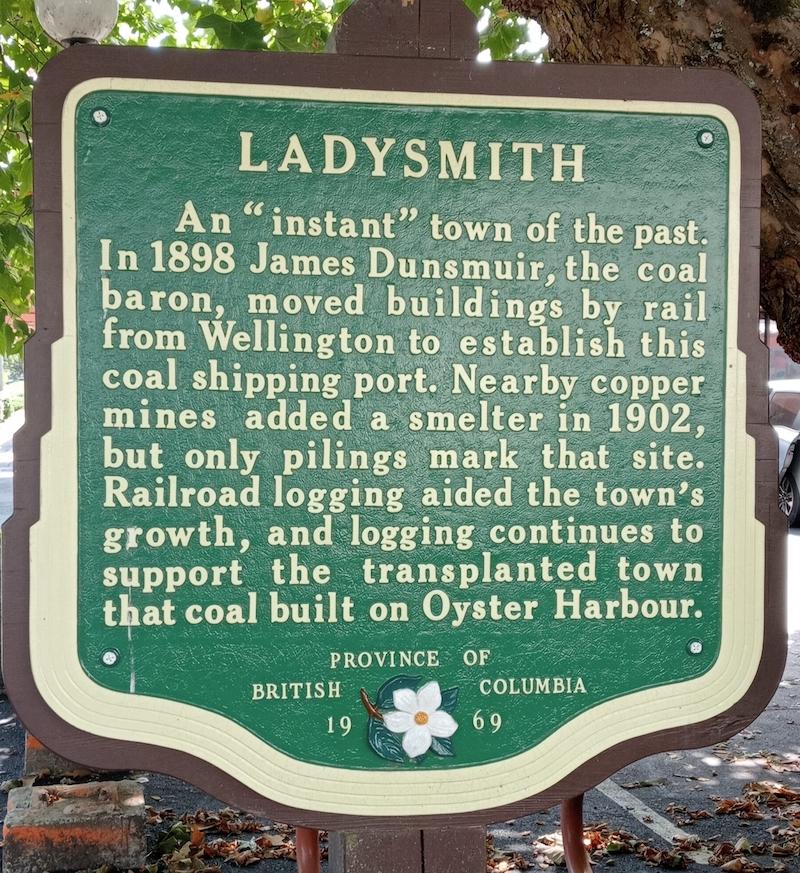
Some of the history of the town commemorated in a plaque (Pam McFadden)
But, how did it become Ladysmith? When Dunsmuir received word on 1 March 1900, that the British forces had finally relieved the besieged town of Ladysmith, South Africa, he decided to name his new town Ladysmith. All the streets crossing First Avenue were named after British Generals who served in the Anglo Boer War.
Naturally I drove around the whole town and photographed all the street names and other Ladysmith signs that caught my attention.
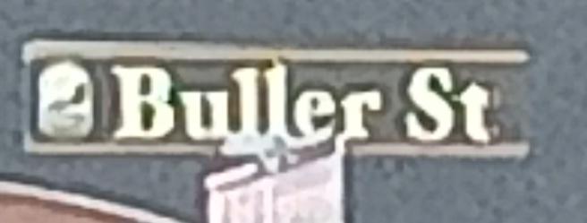
One of the streets in Ladysmith (Pam McFadden)
The town grew quickly and prospered. By 1911 it had a population of 3300. The base of its economy was coal mining, logging and timber and the farming of oysters. The railway station was built in 1901.
In September 1912 the Vancouver Island coal strike began, with violent riots in August 1913. The local militia was called out, but the strike only ended with the outbreak of the First World War.
The history of the town is depicted in the local museum. An exhibit on the “Ladies of Ladysmith” starts with Lady Maria Juan Smith, wife of Sir Harry Smith – the same person after whom “our” Ladysmith is named.
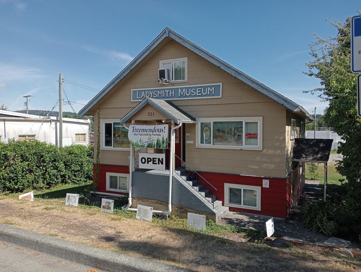
The Ladysmith Museum (Pam McFadden)
On my visit to the museum, the volunteer staff member on duty was very excited, when my family told him I had been born in Ladysmith South Africa. He admitted to an interest in the connections with Ladysmith South Africa but had never visited our country.
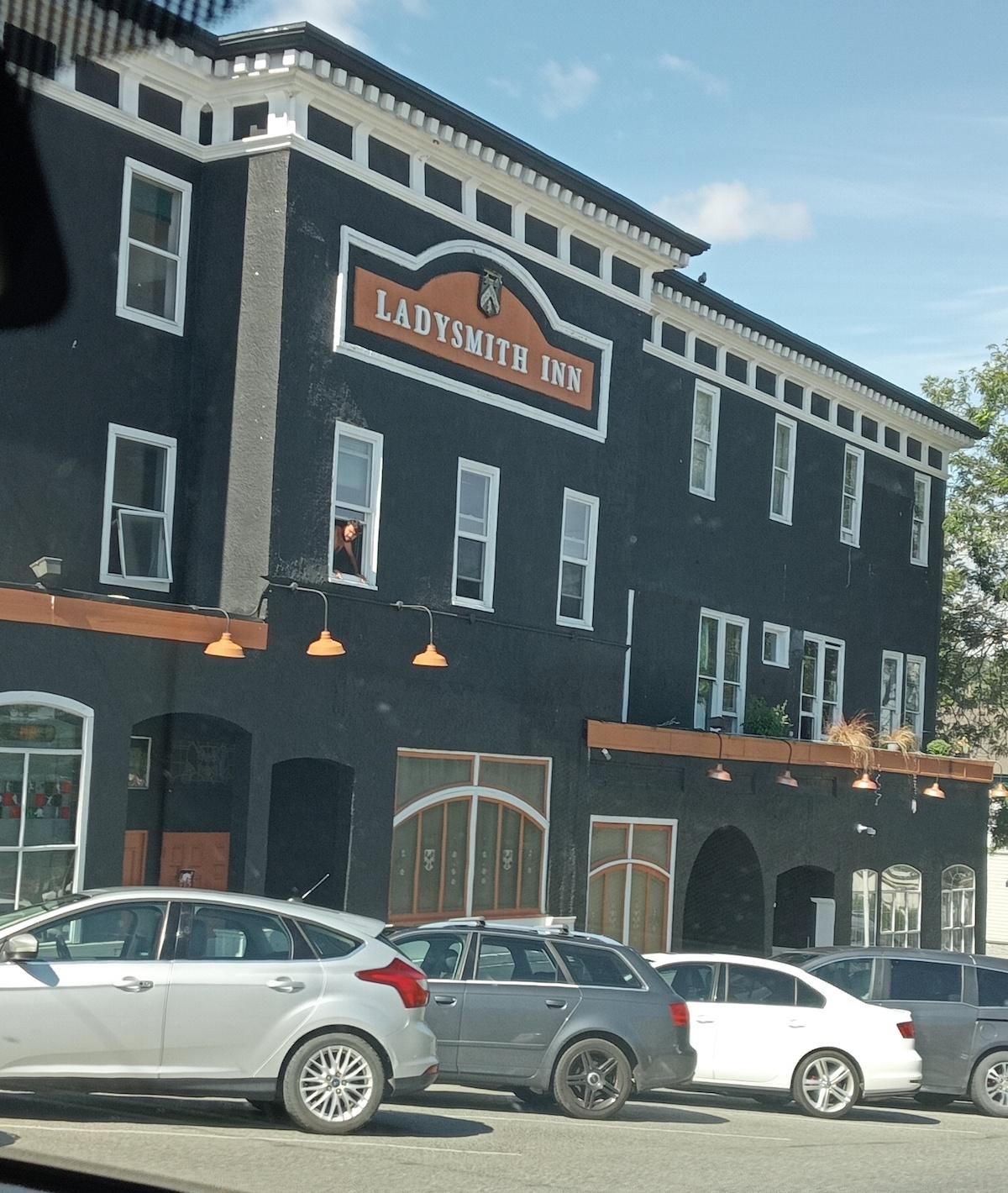
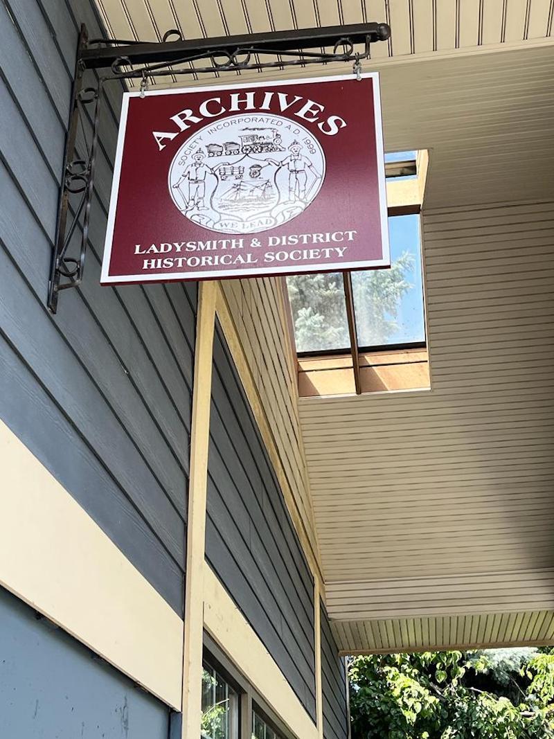
A few more scenes from Ladysmith (Pam McFadden)
Not only is there Ladysmith, but also a small island east of Nanaimo named Newcastle.
About the author: Pam McFadden has spent many years researching the battlefields of KwaZulu-Natal. She has been interested in them since a young child. As a registered specialist guide on these battlefields for the past 40 years, her knowledge about events and the people involved is considerable. From 1983 to 2021, as curator, Pam developed the Talana Museum in Dundee into one of the finest in the country. She remains a Trustee of the museum and is involved in the finances as well as digitising the considerable archival collections.