Blue Plaques are internationally recognised symbols commemorating places, spaces, events and personalities of cultural or historical importance. The placement of the iconic round plaques with white text on a blue background began in 1866, more than 150 years ago.
The Magaliesberg Association for Culture and Heritage will be placing Blue Plaques at heritage sites throughout the Magaliesberg Biosphere. The objectives are:
- To identify, support and endorse important sites in the Magaliesberg Biosphere Reserve.
- To raise awareness of the rich heritage and culture in the region and to make information accessible to tourists, students and the public.
- To encourage research into the history of the region.
- To foster a sense of local pride and encourage the conservation of historical landmarks.
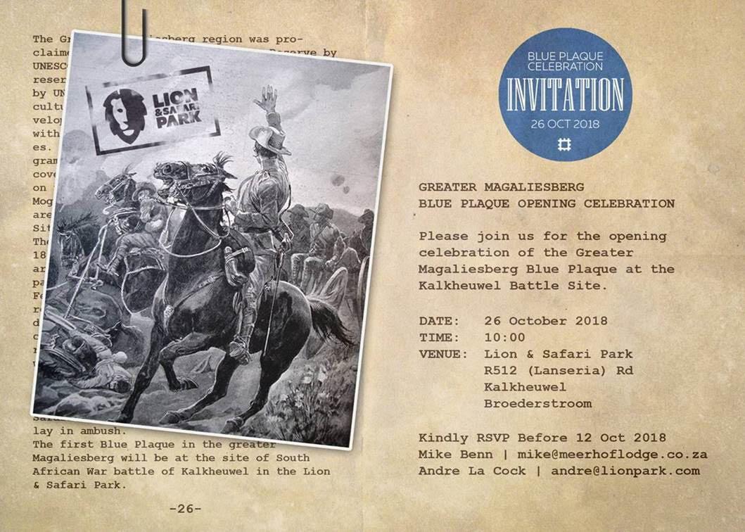
The first Blue Plaque in the Magaliesberg Biosphere will be at the site of South African War battle of Kalkheuwel in the Lion and Safari Park.
What is the Magaliesberg Biosphere?
The Greater Magaliesberg region was proclaimed an international Biosphere Reserve by UNESCO in Paris on 9 June 2015. A biosphere reserve is an area that has been recognised by UNESCO as having exceptional natural and cultural value and where programmes are developed to combine socio-economic improvement with the sustainable use of natural resources. The Blue Plaque project is one such programme. The Magaliesberg Biosphere Reserve covers the mountain region between Pretoria on the East, Rustenburg on the west and Mogale City in the South. The two core areas are the Cradle of Humankind World Heritage Site and the Magaliesberg Protected Area.
The Battle of Kalkheuwel
The South African War broke out on 10 October 1899, the burghers of the Cradle-Magaliesberg area joined the Krugersdorp Commando and took part in the early Boer victories in Natal. Few of them suspected that the conflict would reach their own homes in this quiet, rural district, but by June 1900 the British were closing in on the Transvaal capital, Pretoria and the guns of the battle of Kalkheuwel would have been audible throughout what is now the Cradle of Humankind.
While Lord Roberts led the main army along the Johannesburg-Pretoria road, General John French took a column of 4,500 horsemen to encircle the capital from the west. The route that French took is now the R512 highway that winds through the Kalkheuwel pass to Broederstroom. In 1900 it was a narrow wagon track with impassable rocky slopes on either side. In the late afternoon of 3 June the long column of mounted British soldiers entered the lengthening shadows of the pass. On the hillsides around the modern Lion and Safari Park, a commando under Sarel du Toit lay in ambush.
At four oâclock in the afternoon the Boers opened fire at almost point-blank range, killing the two leading horsemen. Pandemonium ensued. Men tried to retreat along the confined track, while others tried to push forward into the attack. In the confusion, the artillery could not bring their guns to bear, and for a while the entire column seemed immobilised. Eventually, order was restored but throughout the night both sides remained pinned down by each otherâs gunfire. Boer losses were severe â 20 men killed â while British losses were relatively light, in spite of the earlier chaos. At dawn the Boers fell back, leaving General French to continue the advance towards Pretoria. But Du Toitâs purpose had been achieved; while he had held the British column at bay all night, a large convoy of supply wagons which he had been protecting had been able to escape, to the safety of the Bushveld.